
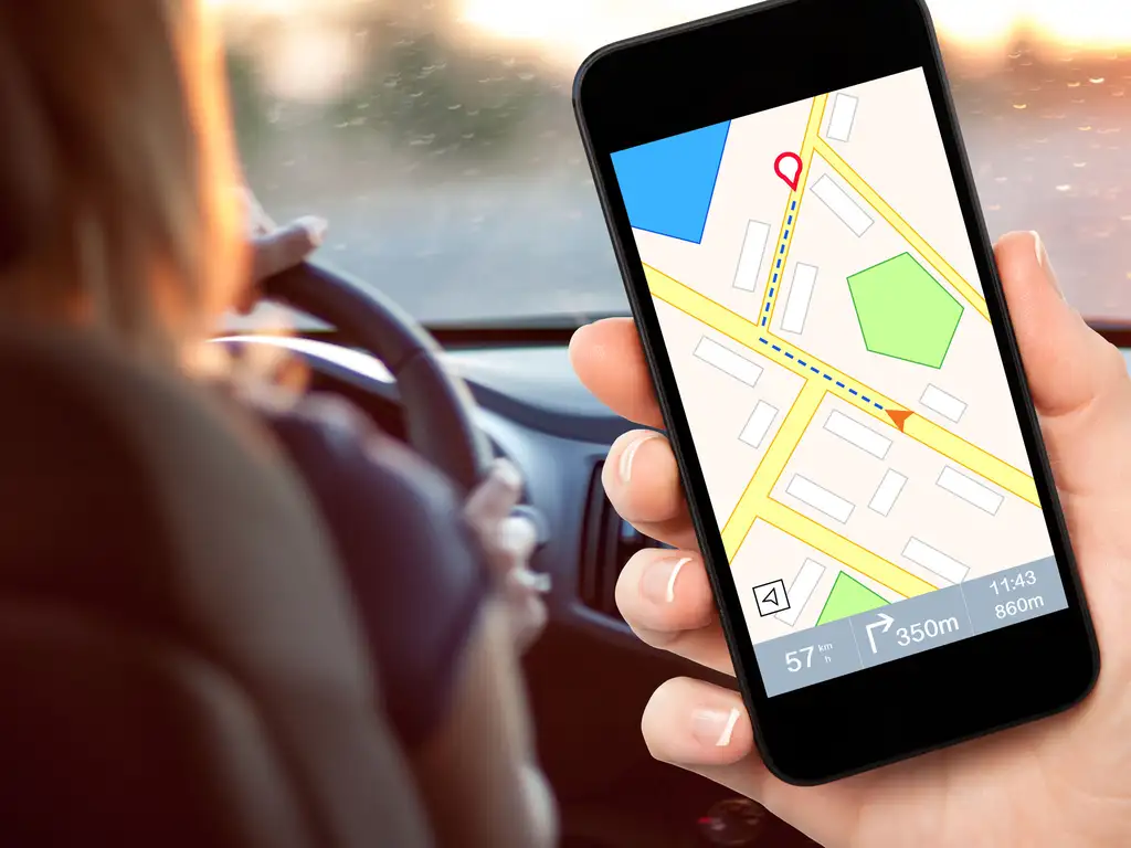
Getting lost somewhere in unfamiliar area is the last thing you want to do when going on a road trip. Imagine that you pick up 8 passenger van for rent with rental24h.com and expect a great family trip on US roads. However, you forgot to take your GPS navigator on the car rental counter. What to do? The answer is simple – download a suitable navigation app on your smartphone and enjoy the ride.
Mapping apps and navigators are an excellent alternative to car navigation devices. Moreover, they have replaced such orientation aids as paper maps and made this aspect of modern life much easier and more convenient.
Now, you need to set only two coordinates to build a route from point A to point B. These are the starting point of the route and the final destination. The destination may be another city or even another country. Searching for a particular establishment, a specific store, a pharmacy or an entertainment center – navigator apps also come in handy, showing the closest places to you.
So, check the list of apps available now and choose the best one for your upcoming trip.
1. OsmAnd Maps and Navigation
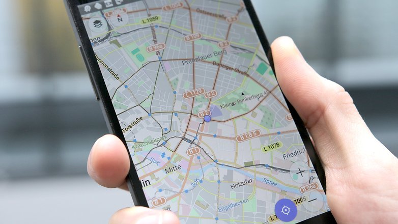
Are you planning a road trip with your rental car to an unfamiliar city, or do you just want to explore some unfamiliar places? The free OsmAnd Maps and Navigation app will be a perfect solution. It will help you quickly navigate the terrain and not get lost. The navigator can work with both online maps and preloaded data.
Please note that the number of downloaded maps and add-ons in the free version is limited to ten downloads, regardless of what type or size they are. However, this is enough to travel to 7+ diverse cities or small countries.
App features:
- maps can be pre-loaded from the Web or work with an online resource;
- map database provides a large number of points, including sights, restaurants, hotels and more;
- search for points of interest in offline mode;
- building routes without an Internet connection;
- day and night modes;
- voice commands that notify the direction of movement, and warning of overspeeding.
2. CoPilot GPS
The multifunctional CoPilot GPS will show you the right route when driving your rental car. In addition to high-quality two-dimensional maps and millions of useful objects marked on them, the application stands out for the ability to search for nearby places through Google and Wikipedia, as well as the ability to communicate on social networks directly through the app.
In the free version, maps of only one region are available. If you decide to travel beyond its borders, you will need to buy additional maps – the price a set of maps ranges from $17 to $57, which is much cheaper compared to other paid counterparts. In the paid version, you will also have access to turn-by-turn voice navigation, 3D maps and arrows that indicate the desired lane at traffic intersections.
App features:
- 2D maps with detailed display of streets, lanes, etc.;
- maps are updated every three months;
- huge database of useful objects;
- three different options for a travel route;
- walking mode to explore unfamiliar cities;
- search for information about by using Google or Wikipedia;
- ability to communicate on Facebook and Twitter social networks directly through the program.
3. Maps.Me

Here’s another development that will make navigation easier. It has already gained popularity all over the world and even took top places in app ratings. Driving your rental car in unfamiliar terrain with Maps.Me will turn your trip into an exciting adventure.
A distinctive feature of the software is offline work. That is, you can download in advance a map of any city or country from the OpenStreetMap service, and at any time navigate the area – with No GPS and No Internet connection.
Maps are loaded instantly, and the details in them will delight even sophisticated drivers and travelers. The point is that OpenStreetMap maps are updated daily by regular users. Thus, even little-known dirt roads, new sights, names of establishments and such trifles as fountains are indicated by those who are already working with the service.
App features:
- absolutely free download of maps for any country in the world;
- offline work;
- determining your location by GPS;
- many interesting and useful infrastructure objects available on the map.
4. Sygic: GPS Navigation

Sygic is another high quality app for your car rental trip. The app allows you to download accurate 3D maps of 120 countries from the TomTom service to SD media. All of them are free and regularly updated.
You can create routes with intermediate points for stops. In this case, the application will offer up to three alternative roads to choose from. Sygic is distinguished by intelligent voice guidance – the user receives not only driving instructions, but also information about the street he is driving.
In addition, the app provides information on sights with comments from TripAdvisor. You can listen to instructions through the car’s speakers.
App features:
- high quality TomTom maps;
- setting up intermediate points of the route;
- display of speed limits and automatic overspeed control points;
- 3D rendering of cities;
- sharp corner warnings;
- possibility of excluding toll roads.
5. Waze

If you expect to see one more mapping program, then you’re wrong. With Waze, you enjoy a huge community of drivers working together.
Here maps are updated interactively – each driver has the ability to edit and make additions. Road repairs, detours, traffic jams, gas stations and fuel prices, cafes and much more – you can mark all this and rely on other users in the same way.
The navigator itself is equipped with voice prompts and can rebuild the route depending on changes on the roads. This is very convenient if you are driving your rental car in an unfamiliar area. Waze provides integration with Facebook so you can add friends and share your notes.
App features:
- hybrid of a navigator and a social network for drivers;
- the use of various databases for detailed drawing of the area, including Google Maps;
- reflects nearby congestions, cameras, and other hazards;
- automatically shows other users who are nearby;
- sharing coordinates via social networks.
6. ROUTE 66 Navigate
ROUTE 66 Navigate is an advanced navigator that can compete with the products of car navigation system manufacturers. It’s based on TomTom maps – some of the most accurate maps available today. The world’s leading concerns – Volkswagen AG, Renault-Nissan, and Daimler AG use them for their satellite navigation systems.
For the most optimal navigation, the developers have implemented the lane keeping and speed limits options. In addition, you will be able to enjoy fast and smooth operation of maps, because freezes are associated not only with the Internet connection speed and the amount of RAM. The application has provided a letter-by-letter search – even if you type the wrong address or mix up letters, the application will prompt you for the desired destination.
App features:
- online and offline navigation with TomTom maps;
- smoothness and high speed of drawing maps, including 3D ones;
- letter-by-letter search;
- embedded data from Wikipedia;
- creating an alternative route and interactive navigation.


